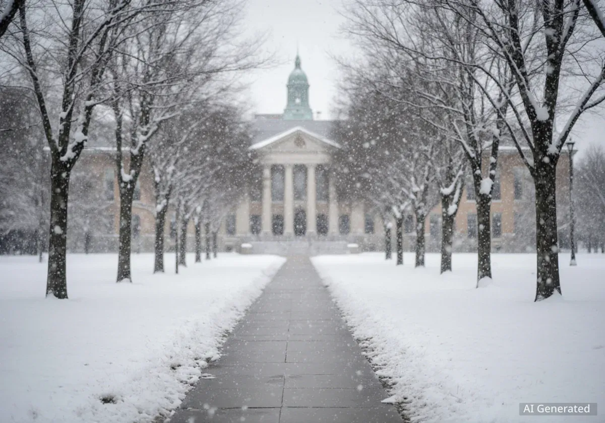

The University of Cincinnati and Miami University have canceled all in-person classes for Monday following a major winter storm that blanketed the region with up to a foot of snow. The closures come as officials warn of a dangerous and prolonged period of extreme cold, with wind chills expected to plummet to as low as 25 degrees below zero.
While the snow has subsided, the primary concern has shifted to the life-threatening temperatures gripping the Greater Cincinnati area. University officials made the decision to suspend on-campus activities to ensure the safety of students and staff navigating treacherous road conditions and facing hazardous cold.
Key Takeaways
- The University of Cincinnati and Miami University have canceled all in-person classes for Monday.
- The decision follows a weekend storm that brought up to 14 inches of snow to some parts of the region.
- An Extreme Cold Warning is in effect for Monday night into Tuesday, with wind chills forecast to reach -25°F.
- Fully online classes at UC will proceed as scheduled, and essential university services will remain operational.
- Temperatures are expected to remain below freezing for an extended period, potentially until February.
Region Grapples with Heavy Snowfall
The decision to close campuses was prompted by the most significant winter storm of the season, which moved through the area over the weekend. The system left a thick blanket of snow, making travel difficult and hazardous across the tri-state region.
Snowfall totals varied, with a consistent band of heavy accumulation reported from southeast Indiana through communities north of Interstate 71. While many areas in the metro received close to 12 inches, some locations experienced even higher amounts.
Snowfall by the Numbers
Official reports indicate that Batesville, Indiana, recorded one of the highest totals in the area with 14 inches of snow. Other communities, including Middletown and Franklin, also reported accumulations around one foot, impacting major transportation corridors and local roads alike.
Road crews have been working around the clock, but many interstates, including Fort Washington Way, and secondary roads remain largely snow-covered. The effectiveness of road salt and brine diminishes significantly in the extremely low temperatures forecast for the coming days, presenting an ongoing challenge for transportation departments.
Dangerous Cold Follows Historic Storm
As the storm system departed, it pulled in an arctic airmass, ushering in what meteorologists are calling a "deep freeze." The National Weather Service has issued multiple advisories, signaling a serious threat to public health and safety.
A Multi-Day Weather Threat
The immediate concern is a Cold Weather Advisory effective through Monday, with wind chills expected to stay between -10°F and -15°F throughout the day. The situation is forecast to worsen significantly Monday night.
An Extreme Cold Warning will go into effect Monday evening and last through Tuesday morning. During this period, the combination of arctic air and wind could make it feel as cold as -25°F. At these temperatures, frostbite can occur on exposed skin in as little as 15 to 30 minutes.
"This is one of the coldest seven-day periods I’ve seen around here in quite some time. We may have to wait until February to get above freezing," a local meteorologist noted Sunday evening, emphasizing the severity and duration of the cold snap.
The forecast predicts actual air temperatures will struggle to climb out of the single digits and low teens for much of the week. Overnight lows are expected to be near or below zero for multiple consecutive nights.
Understanding Wind Chill Warnings
An Extreme Cold Warning is issued when the wind chill is expected to be dangerously cold, typically -25°F or colder. This level of cold poses a significant risk for hypothermia and frostbite. Residents are advised to stay indoors if possible, wear multiple layers of loose-fitting clothing if they must go out, and ensure pets are brought inside.
University Operations and Student Impact
The University of Cincinnati's announcement clarified which services would be affected. The cancellation applies specifically to in-person classes, labs, studios, and hybrid courses held on the main campus and all regional campuses.
What Remains Open
Despite the general closure, several essential university functions will continue to operate. According to the university's statement, these include:
- The College of Medicine
- University Police and emergency maintenance operations
- Office of Residence Life and housing units
- Utility plants
- Critical research units where experiments must be maintained
Importantly, fully online classes will continue as scheduled, requiring students enrolled in those courses to log on and participate as usual. This distinction ensures that academic progress can continue where possible without endangering students and faculty by requiring them to travel.
The widespread closures are expected to impact tens of thousands of students across the region. With both the University of Cincinnati and Miami University calling off on-campus activities, many students will have an extended break from their physical classrooms. The conditions have also led to the closure of numerous primary and secondary schools throughout the area, affecting families and communities at large.
Looking Ahead: A Prolonged Freeze
Forecasters are not predicting any immediate relief from the arctic conditions. High temperatures are expected to remain in the teens for most of the week, well below the seasonal average.
The persistent cold will hamper efforts to clear roads and sidewalks, as snow that has already fallen will remain frozen in place. Residents are urged to take precautions to prevent frozen pipes and to check on elderly or vulnerable neighbors.
Adding to the concerns, another weather system is on the horizon. Meteorologists are monitoring the potential for more accumulating snow on Wednesday night and into Thursday, which could further complicate travel and extend the period of disruption for the region.